Wind-blown sand covered much of southern China’s tropical, coastal land in the 1940s. Due to soil erosion from certain destructive farming practices and extensive deforestation, this contributed to large amounts of sand to waterways emptying into the South China Sea. Subsequently, west monsoon winds carried the sand inland burying small settlements and even threatened abandonment of large towns.

95 feet of wind-blown sand covering a small settlement along coastal Guangdong. (Photo by W. Parham, 1990).
In the coastal area east of Guangzhou, for example, sandy wasteland covered some 33,000 ha (~82,000 acres). To stabilize the blowing sand, Eucalyptus seedlings were planted but they did not survive the strong winds. As early as 1952, Casurina equisetifolia, a tree species adapted to sandy and salty soils, was planted but was damaged due to typhoon winds in the late 1960s and early 1970s. Even though these shelterbelt plantings extended for about 1000 km (~620 miles) of Guangdong’s coast, they had limited success.
An innovative, 3D tree-planting system was tried next. Three species were interplanted on the sand dunes taking advantage of the tree height and root depths. From tallest to shortest were Casurina, pine (Pinus elliotti), acacia (A. auriculiformis), and eucalyptus (E. exserta). Eucalyptus and Cassia had the deepest root systems whereas the pine roots were of medium depth, and Cassia’s were the shallowest. Grasses, some of which were legumes, were planted in between the trees. Some fruit trees and cash crops also were added. Although cutting was prohibited, some enterprising locals raked up fallen tree litter for fuel.
Rake marks provide evidence of the collection of tree litter for fuel even though the practice was prohibited. (Photo by W. Parham, 1990).
The 3D planting-system not only stabilized the moving sand but benefitted the area’s ecology, society, and economy.
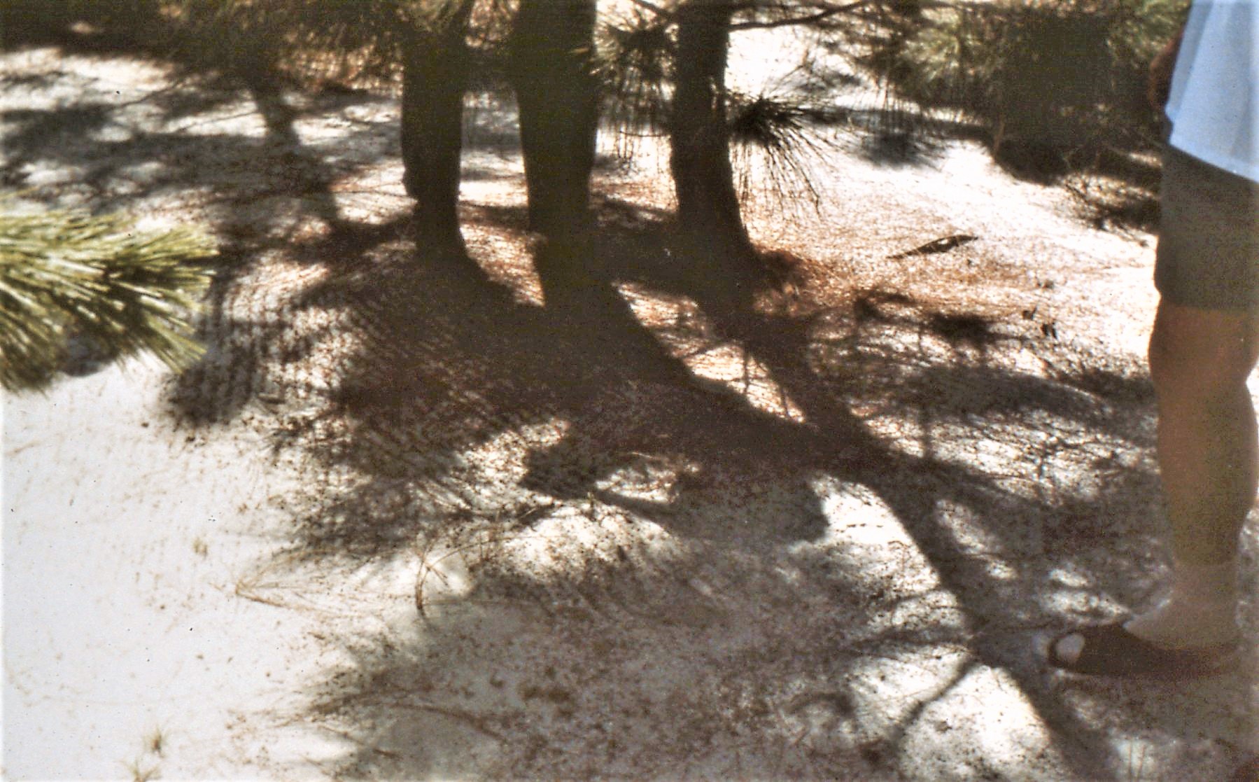
Lufeng Area

Stabilized coastal sand dunes in Guangdong. (Photo by W. Parham, 1990).
Lufeng, a coastal town in eastern Guangdong, is broad, flat, and sandy, and surrounded on three sides by deeply weathered, eroded, granite hills with slopes of up to 15 degrees. This area accounted for 38 percent of east Guangdong’s sandy land. The surrounding degraded hills contributed as well to the sand problem. The town of Lufeng at one point almost had to be abandoned because of sand encroachment.
The people of Lufeng requested assistance from the Guangdong Office of Coastal Area Investigation. Mr. Xu Guoxuan and Mr. Lin Xinqing of that office, developed an experimental, orchard-reclamation plan for 20 ha (~50 acres). Numerous locals assisted in clearing and leveling the site, a massive job that required moving sand of depths of 0.8 to 1.0 meters.

Deeply eroded hills behind four year old orange trees. (Photo by W. Parham, 1990).
Then in 1983, the planting began of Chaochou Mandarin orange-trees, the Hongjian orange. These trees produce fruit in about four years. The trees were clipped so that no ladders were needed to pick the fruit. Even though a typhoon struck the area in year four, the trees and fruit survived. The orchard was a commercial success and the profits were used for additional sand-stabilization work.

Orchard survived a typhoon in year four. Researchers examining plantings. (Photo by W. Parham, 1990).

Chaochou Mandarin oranges ready for market. (Photo by W. Parham, 1999).
###
References: The following two papers are part of a 1993 published workshop proceeding, held at the University of Hong Kong, Kadoori Agricultural Research Centre entitled Improving Degraded Lands; Promising Experiences from South China; Editor W.E. Parham, workshop assistants P.J. Durana, and A.L. Hess. The Rockefeller Brothers Fund supported the workshop and publication of 39 papers. See: Bishop Museum Bull. in Botany 3, Bishop Museum Press, Honolulu, 243 p.
“Transformation and development of the coastal sandy wasteland in South China: experiment in East Guangdong”; Liang G., Lin X., Xu G. and Zhang H., p. 47-52.
“Experiments on development of degraded granitic terraces in Lufeng County, Guangdong Province”: Lin X., and Xu G., p. 57-58.
